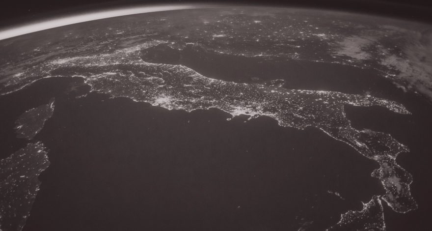
WASDI: unburdening the analysis of Earth Observation images
Teachers: Cristiano Nattero, Paolo Campanella — WASDI
Satellite Earth-Observation images are large files and complex objects: downloading them requires a delay, analyzing them takes a toll on processing capabilities, and the upload of the results can also introduce an additional lag. Batch processing of several images can be a daunting task.
WASDI (Web Advanced Space Developer Interface) is an open source web application that eases the job, by letting the users concentrate on the conceptual analysis, rather than on the infrastructural issues. This advantage is obtained by moving the processors to the data, rather than the other way around, and exploiting the computational power of the same cloud where the images are stored.
The lecture will show – hands on! – how to get existing images, how to plan the acquisition of new images, how to manipulate and elaborate them using library functions, and how to deploy your own code to run your own custom processing on the cloud.}
Prerequisites: Chrome, Python for scripting
#EOdata #Earth-Observation #datascience #WASDI #ESA

Recent Comments